Resource Consents
for Subdivisions & Property Development
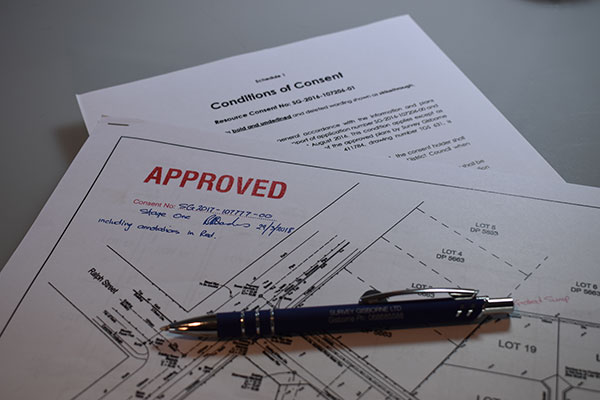
Preparation of Resource Consent (Subdivision) Applications
Our professional team at Survey Gisborne Limited have the knowledge and expertise to prepare applications for resource consents relating to all types of land subdivision projects. This involves correlating all the necessary information that a territorial authority requires for them to process resource consent (subdivision) applications.
A resource consent (subdivision) application prepared by Survey Gisborne Limited will include a plan proposal drawn to scale that shows both the existing and proposed new boundaries for the new allotments, existing and proposed easements, topographic features and any existing relevant infrastructures. A detailed report is also required to be prepared which will address any issues that needs to be considered by the territorial authority.
Resource consents are usually applied for as a “controlled” activity, however there are circumstances that require resource consents to be treated as “restricted discretionary, or even “discretionary”. For the latter, this will involve a more detailed assessment against the policies and objectives of the territorial authority’s District Plan. For example, in the “residential” zone of the Gisborne City, the minimum allotment size (net area) is 400 m². If this allotment size is however required to be below that minimum allotment size, then the resource consent (subdivision) needs to escalate from a “controlled” activity to a “discretionary” activity.
The information required to support a resource consent (subdivision) can vary enormously. Additional information and assessments required may include:
- Geo-technical Investigation Assessment to establish / confirm that a suitable building platform is available within a new vacant allotment and vehicle access.
- On-site Wastewater Assessment.
- NES (National Environmental Standard for Assessing and Managing Contaminants in Soil to Protect Human Health) – a search of the territorial authority’s records and other sources.
- Archaeological Investigations and Response Plan.
- Preliminary and / or Detailed Engineering Plans and Drawings.
- Assessment of Environmental Effects (AEE).
- AgFirst Assessments.
Using a knowledgeable professional from Survey Gisborne Limited can ultimately save time and avoid additional expenses or unexpected surprises. Depending on the scale and complexity of a project, most resource consent (subdivision) applications can be prepared within four weeks.
Once a resource consent (subdivision) application has been lodged with the territorial authority, the territorial authority has a statutory obligation to process that application within 20 working days. However for more complex resource consent (subdivision) applications, these may take longer to process.
The territorial authority does have the right to request further information, pursuant to Section 92 of the Resource Management Act 1991. If this happens the clock for processing resource consent (subdivision) applications stops until the required information can be provided to the territorial authority. However at the team of professional surveyors at Survey Gisborne Limited endeavours to ensure that such delays do not occur and our avoided in the first instance.
For further information about estimates or information on obtaining resource consents to subdivide, give the friendly team at Survey Gisborne Limited a call on 06 868 5588, or email us on surveyor@surveygis.co.nz.


